admin

Even after the wildfires and flooding impacts in our region, nature is resilient, and so are the trails that remain safe for exploration. Below is a guide to trails around Ruidoso that are still open (or temporarily closed) to visitors, based on the latest notices and ranger information. Always check trailhead signage or with the Smokey Bear Ranger Station before setting out.
✅ Trails & Systems Still Open
Grindstone Lake Trail System
This multi-use trail network inside Ruidoso is in good shape and welcoming hikers, mountain bikers, and equestrians. The system offers about 18 miles of trails, with scenic loops, ridgeline paths, and forested views. Parking fees may apply during the summer season.
Moon Mountain Trails
New trail segments on Moon Mountain have opened, offering moderate routes with fresh views. These are designed for hikers, bikers, and equestrians. Great option when you’re looking for something quieter than the main forest trails.
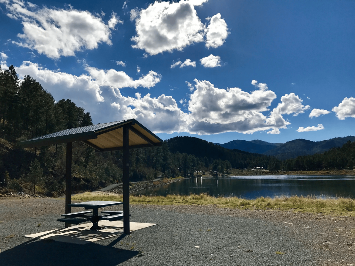
Alto Lake & Reservoir Trails
These are relatively easy loops around the reservoir and are listed as active in Ruidoso’s trail guides. A good pick if you’re favoring gentler walks over steep treks.
🚧 Trails Closed or Under Restriction
Cedar Creek Area / Cedar Creek Trails
This area is currently closed due to flooding and hazard conditions. The U.S. Forest Service has issued a temporary closure affecting multiple trails and day-use areas in the Cedar Creek network.
Bluff Springs (Recreational Area)
Bluff Springs is under maintenance and bridge restoration through December 2025. Access to certain trails and infrastructure like vault toilets and the parking lot are affected.
Other Local Trail Closures (Notably 532 / Ski Run Road off 127a)
Some trails remain closed pending repair and safety checks. For example, the 532 / Ski Run Road off 127a route. Always check trail status ahead of any planned hike.
🧐 What You Can Do Before Heading Out
-
Check the latest alerts. Forest Service and local government sites post closures and safety notices.
-
Be aware of fire restrictions. Fire rules remain in effect, so always use designated fire pits or follow guidelines for cooking.
-
Watch for hazards after storms. Areas recently burned are more vulnerable to flooding, landslides, or falling debris.
-
Use high-clearance vehicles when needed. Some access roads may be rough or damaged.
-
Stay on open trails. Respect signage and avoid trespassing into closed zones.
While not all trails have reopened yet, there’s still plenty to explore safely. Trails like those at Grindstone Lake, Alto Reservoir, and the new Moon Mountain paths offer beautiful wooded landscapes, wildlife sightings, and the chance to breathe in fresh air without heading too far from town.
Keep checking updates from the U.S. Forest Service and the Smokey Bear Ranger Station, especially as restoration work continues. When in doubt, call ahead. Nature will wait, but safety should always come first.